
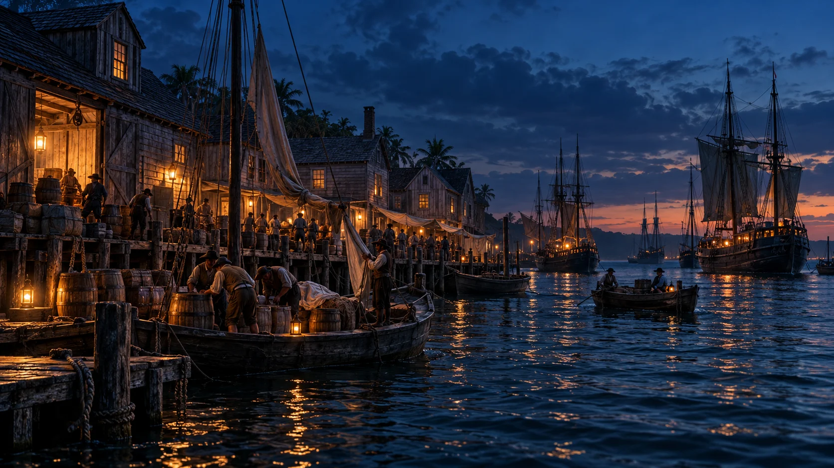
An inlet connects and constrains
An inlet offers access between open water and a coast’s protected waters. That access is conditional: depth, shoals and the changing channel matter. In the General History, Maynard cannot simply sail straight at Teach on arrival. The place is shallow and the channel intricate. [1]
This is the beginning of the explanation, not scenery added to it. A vessel carrying more guns can still be unable to cross the same water as a shallower craft. A historical battle map that ignores depth may make a plausible-looking action physically misleading.
Sounding was part of the approach
The narrative describes a boat sent ahead to sound before the vessels advanced. Sounding supplied information about the water directly ahead, where a chart or a distant view was insufficient. [1]
Compare that task with the navigation guide. Finding a route across an ocean and finding enough water through an inlet were related but different problems. A practical seaman needed more than one kind of knowledge.
Grounding changes the action
Teach’s vessel and the pursuing vessels encountered the limits of the channel. The account describes Maynard discarding ballast and emptying water to lighten his sloop. Such measures made sense because the difficulty was not only the opponent’s fire: it was bringing the vessel into a position where the fight could continue. [1]
That intervention carried costs. Ballast and water had ordinary purposes aboard. Throwing them away was a tactical choice in a specific emergency, not a general recommendation for making a sailing vessel fast.
The close fight and its display
The source’s final action involves gunfire, an apparent opportunity to board, men emerging from below and close combat. Teach was killed. Maynard later carried away his head, displaying the result as well as reporting it. [1]
The narrative supplies striking dialogue and exact-looking casualty details. Those should not be mistaken for a modern recording of each movement. The larger outcome is clear within the account; the dramatic choreography remains a reconstruction told in print.
Do not navigate from a history page
A modern inlet can change, and a historical text is not a current chart. This page makes no claim about today’s safe depths, boating route or exact place to anchor. Historical geography and present-day safety information need different sources.
Return to the whole career or compare Charleston’s threatened entrance. The comparison shows two different ways coastal geography shaped the company’s power.
Questions, answered.
Is this the inlet where Blackbeard was killed?
It is the place identified in the early account as Okerecock, now normally written Ocracoke, for Maynard’s encounter with Teach.
Can the historical route be used for boating today?
No. This is historical interpretation, not a current chart, depth survey or navigation instruction.
Sources & reading notes
Source checks distinguish an artifact, a reported account and a modern interpretation. They do not constitute independent historian review.
- A General History of the Pyrates (1724)Published under the name Captain Charles Johnson · Early printed account; public-domain text
Chapter III, from Maynard’s arrival at Okerecock Inlet through the boarding fight and aftermath. The spelling is the account’s. Tactical detail is attributed to this narrative; this is not a modern navigational or visitor guide. Authorship is disputed. A near-contemporary compilation, not a surviving signed pirate code or a neutral transcript. Cite its claims as reported claims.
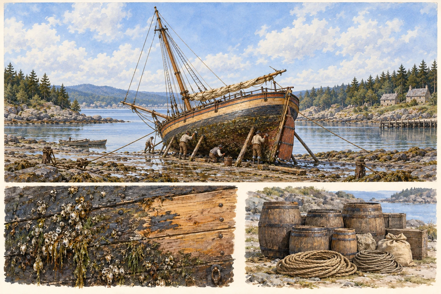 See the details.Careening: the work that made a ship vulnerableExplore the illustrated guide