
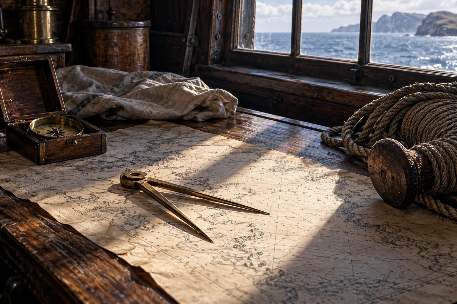
A map made for a particular kind of journey
Falconer defines a chart through what a vessel needs to know: coasts, islands, banks, rocks, dangers and the entrances to bays and rivers. This is a representation with a maritime purpose, not simply any picture of a coast. [1]
The distinction matters when using a historical image. A decorative view, a regional map and a chart prepared for navigation can all show water and land while selecting different information.
Local knowledge entered the approach
Smith assigns the pilot a charge when the vessel makes land and is brought to harbor. Falconer’s later definition likewise emphasizes coastal districts and entrances. A pilot’s value was connected to knowledge of a place, not only possession of a general sailing skill. [2][1]
This does not mean every harbor had an available pilot or every company obtained reliable assistance. It shows why the coast could create another information problem after an ocean passage.
Charts could themselves be prizes
A Greenwich manuscript record links Ringrose’s South Sea Waggoner to a Spanish derrotero captured from Rosario in 1681. The catalogued 1682 chart also carries a grid associated with copying. Knowledge moved through seizure and reproduction as well as new observation. [3]
The example makes a useful distinction: the person producing an English manuscript need not have surveyed every feature afresh. A chart’s source history can be as important as the name written on it.
A sheet and a sounding answered different questions
A chart represented an area; a sounding sampled water at a point. In the Ocracoke narrative, a boat sounding ahead helped the approaching vessels deal with shallow and intricate water. The observation complemented wider knowledge instead of replacing it. [4]
On a modern reconstruction, mark what comes from a source chart, what from an observed statement and what has been inferred. A clean line drawn between two historical places is not itself a documented sailed track.
Ask where the information came from
Look for the chart’s date, reference, compiler and source material. Ask whether a number is a copied sounding, a later annotation or a modern addition. The object can be beautiful while still requiring those questions.
Continue with local depth, measurement on a sheet and the estimate that observations could challenge. The result is a process of gathering and comparing information, not a single all-knowing map.
Questions, answered.
Did every chartmaker personally survey every coast shown?
No. The Ringrose example documents a source obtained through capture and copying.
Was a chart enough to settle the immediate depth ahead?
Not necessarily. The cited Ocracoke account also describes sounding during the approach.
Sources & reading notes
Source checks distinguish an artifact, a reported account and a modern interpretation. They do not constitute independent historian review.
- An Universal Dictionary of the Marine (1769)William Falconer; Project Gutenberg transcription · Eighteenth-century technical dictionary; public domain in the USA
Headwords “Chart” and “Pilot,”1769. Published 1769, later than most events in this chapter. Used as a dated terminology comparison, not proof that an earlier pirate carried a particular instrument or followed later naval regulations.
- A Sea Grammar (1627)Open the keyboarded source transcriptionJohn Smith; Early English Books Online / Text Creation Partnership · Seventeenth-century seafaring manual; TCP transcription released under CC0
Chapter VIII, the pilot’s charge when making land; Chapter XV, Waggoner among the navigation books. A prescriptive manual from 1627, not the operating rules of every merchant, naval or pirate vessel. The TCP text preserves gaps and transcription uncertainty. Modernized explanations here do not reproduce its period medical or physical theories as current advice.
- Archipielago de las Perlas, from Ringrose’s South Sea WaggonerRoyal Museums Greenwich, National Maritime Museum · Museum manuscript catalogue; item P/32(43)
P/32(43), dated 1682: Ringrose’s Waggoner and the captured Spanish derrotero used as its source. The record describes this manuscript and the captured Spanish source behind it. It does not make every later drawing a direct eyewitness survey or license reuse of the catalogue photographs.
- A General History of the Pyrates (1724)Published under the name Captain Charles Johnson · Early printed account; public-domain text
Chapter III, sounding on the Ocracoke approach. Authorship is disputed. A near-contemporary compilation, not a surviving signed pirate code or a neutral transcript. Cite its claims as reported claims.
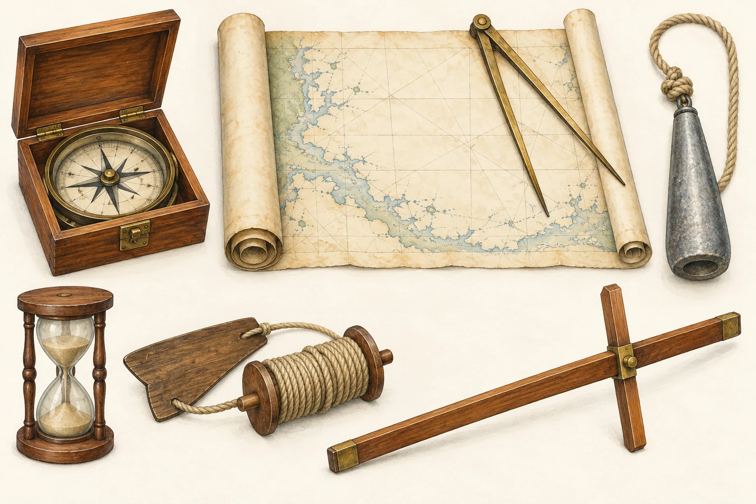 See the details.How sailors found their way.Explore the illustrated guide