
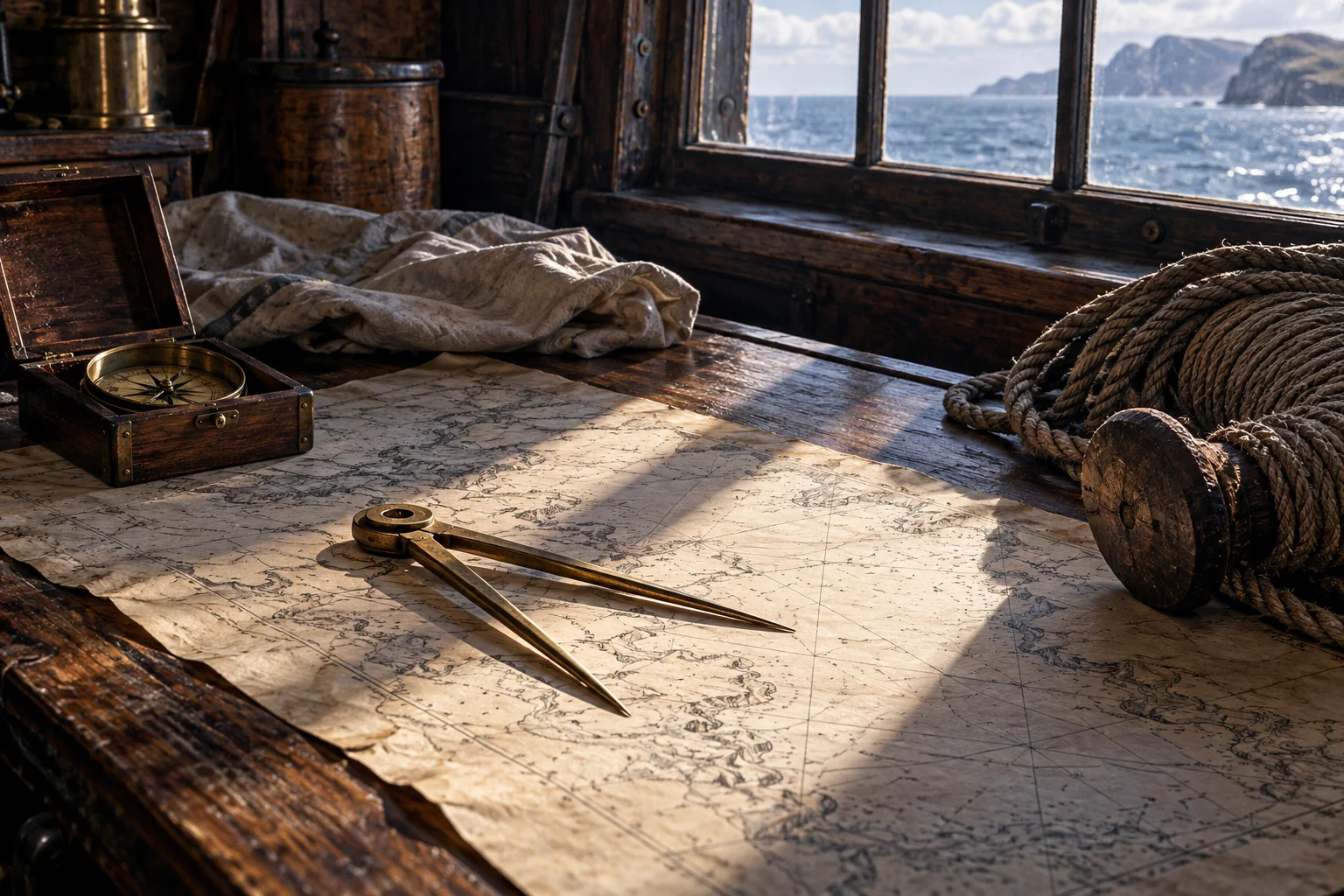
The question was under the vessel
A chart describes an area. A sounding investigates water at a particular place and moment. Falconer’s definition includes both depth and the character of the bottom, making clear that this was not merely a way to point toward land. [1]
The distinction helps explain why several kinds of information were valuable together. A navigator could have a general picture of a coast while still needing to know whether the vessel could pass over the water immediately ahead.
A measurement had conditions
The line, the vessel’s movement and the ground reached all belonged to the observation. The number attached to a sounding should not be turned into a permanent safe depth for a whole channel. An observed point and an area between points are not the same thing.
Falconer distinguishes equipment for different settings and describes a particular marking scheme. Those details are useful dated evidence, not a universal kit specification to paste into every earlier pirate scene. [1]
Identification can remain conditional
The QAR catalogue identifies a large lead weight as a sounding instrument. It treats smaller hollow-bottomed weights more cautiously, allowing sounding and other possible functions. The difference in confidence should survive into any modern explanation. [2]
An object that resembles a known tool may support an interpretation without settling it. Size, markings, wear and the context of recovery all matter. A caption should not quietly upgrade “possibly used for” into an unquestioned identification.
A boat could take information ahead
The early account of Maynard’s approach at Ocracoke describes a boat sounding before the pursuing vessels advanced. The task belongs to the tactical sequence: knowing the water helped shape what could happen next. [3]
A familiar painting of the final close fight can hide that work. The encounter began with navigation through a difficult place, not simply two ships deciding to exchange fire on an unlimited flat sea.
Keep the record local and dated
A historical sounding is not a current navigation instruction. It also need not prove that the entire voyage was guided by repeated lead-line measurements. The claim should follow the source’s actual scope.
Continue with the inlet encounter, the small craft gathering information and the knowledge of a wider coastal route. Depth becomes one part of a working information system.
Questions, answered.
Did a sounding determine longitude?
No. It concerned local depth and potentially bottom character, not an east-west coordinate.
Do all similar recovered weights have a certain sounding function?
No. Archaeological records can retain alternative interpretations, and those qualifications matter.
Sources & reading notes
Source checks distinguish an artifact, a reported account and a modern interpretation. They do not constitute independent historian review.
- An Universal Dictionary of the Marine (1769)William Falconer; Project Gutenberg transcription · Eighteenth-century technical dictionary; public domain in the USA
Headword “Sounding,” including the distinction between depth and bottom character;1769 dimensions and marking schemes are not assigned to every earlier vessel. Published 1769, later than most events in this chapter. Used as a dated terminology comparison, not proof that an earlier pirate carried a particular instrument or followed later naval regulations.
- Sounding weightNC Office of State Archaeology · Archaeological collection
QAR sounding-weight catalogue: one large identified lead and smaller weights for which several uses remain possible. Measures local water depth rather than latitude or longitude.
- A General History of the Pyrates (1724)Published under the name Captain Charles Johnson · Early printed account; public-domain text
Chapter III, the boat sounding during Maynard’s approach to Teach. Authorship is disputed. A near-contemporary compilation, not a surviving signed pirate code or a neutral transcript. Cite its claims as reported claims.
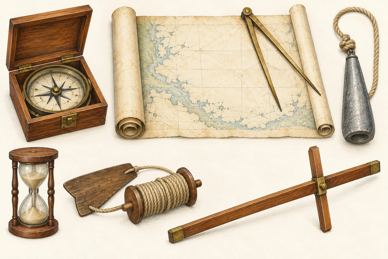 See the details.How sailors found their way.Explore the illustrated guide