
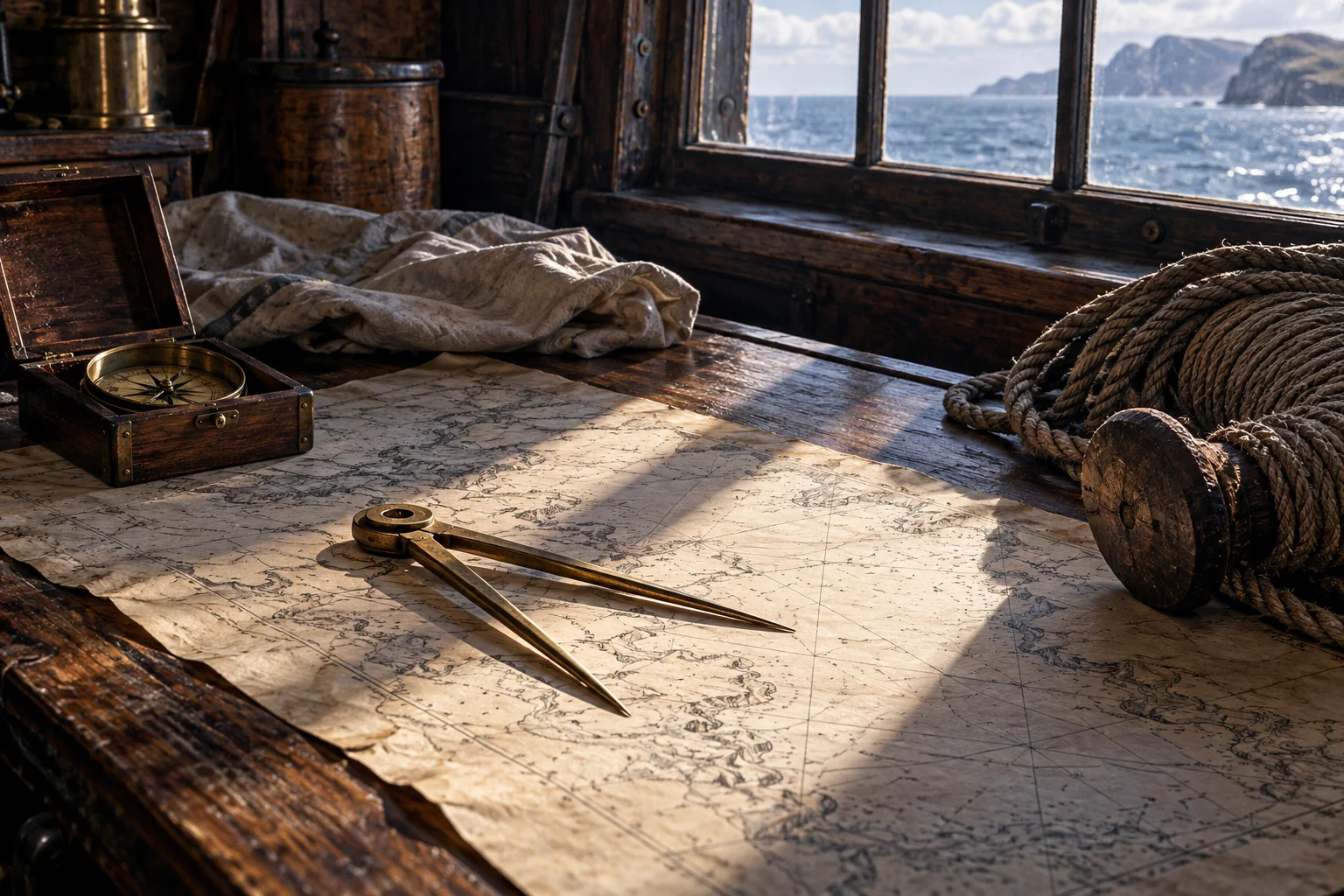
The instrument moves a separation
Think of two points on a chart and a scale printed elsewhere on the same sheet. A pair of dividers lets the user preserve the gap between points while moving it to the scale. The useful measurement comes from the relationship between instrument and chart, not from the metal tool alone.
That distinction is the first protection against a misleading reconstruction. An elegant object on a captain’s table does not independently supply a location, a heading or a distance in miles.
A deliberately invented worked example
Suppose a teaching chart uses 8 distance units for each centimeter. Two points are 2.5 centimeters apart along the line being measured. The indicated distance is 2.5×8, or 20 units.
| Stage | Value |
|---|---|
| Measured separation on the example | 2.5 cm |
| Example scale | 8 units per cm |
| Calculated indicated distance | 20 units |
The example demonstrates transfer and scale. It does not identify a real chart, voyage, nautical-mile convention or historical observation.
The artifact is not the restored image
The QAR project records a hinged pair whose steel points are missing, while the surviving hinge remains functional. Its catalogue compares the object with a Whydah find. Those observations support identification without making every reconstructed detail a recovered fact. [1]
A drawing may restore points to make the tool’s function understandable. That can be useful if the caption says what has been supplied. It becomes misleading if the reader is led to believe the complete imagined object emerged intact from the wreck.
The scale is another source of assumptions
A neat multiplication works only within the example’s stated scale. An actual chart has its own projection, marks, units and purpose. Before reading an apparent distance as an exact historical result, identify what the source chart represents and which measurement is being made.
Smith’s instrument and reading list ends by emphasizing practice. Knowing the name of an instrument was not the same as knowing how to combine it with the other information needed aboard. [2]
Read the tool beside the rest of navigation
A divider measurement, a compass course and a sounding are different contributions. None should be silently made to prove what another would have measured. Keeping the tasks separate makes a navigation scene more intelligible rather than less impressive.
Explore charts and local knowledge, direction and depth and the seabed. The connections explain how modest objects participated in a larger working process.
Questions, answered.
Did dividers automatically find a ship’s position?
No. They supported work with a chart and its scale; other observations and estimates were needed.
Is a complete reconstruction necessarily a complete recovered object?
No. Missing parts may be restored for explanation, and the caption should identify that work.
Sources & reading notes
Source checks distinguish an artifact, a reported account and a modern interpretation. They do not constitute independent historian review.
- DividersNC Office of State Archaeology · Archaeological collection
QAR catalogue: surviving hinged instrument, missing steel points and comparison with a Whydah find. A recovered instrument is evidence of equipment, not proof of a particular route calculation.
- A Sea Grammar (1627)Open the keyboarded source transcriptionJohn Smith; Early English Books Online / Text Creation Partnership · Seventeenth-century seafaring manual; TCP transcription released under CC0
Chapter XV, instruments and the need for practical skill; the term “compasses” in an instrument list should not be flattened into one modern object. A prescriptive manual from 1627, not the operating rules of every merchant, naval or pirate vessel. The TCP text preserves gaps and transcription uncertainty. Modernized explanations here do not reproduce its period medical or physical theories as current advice.
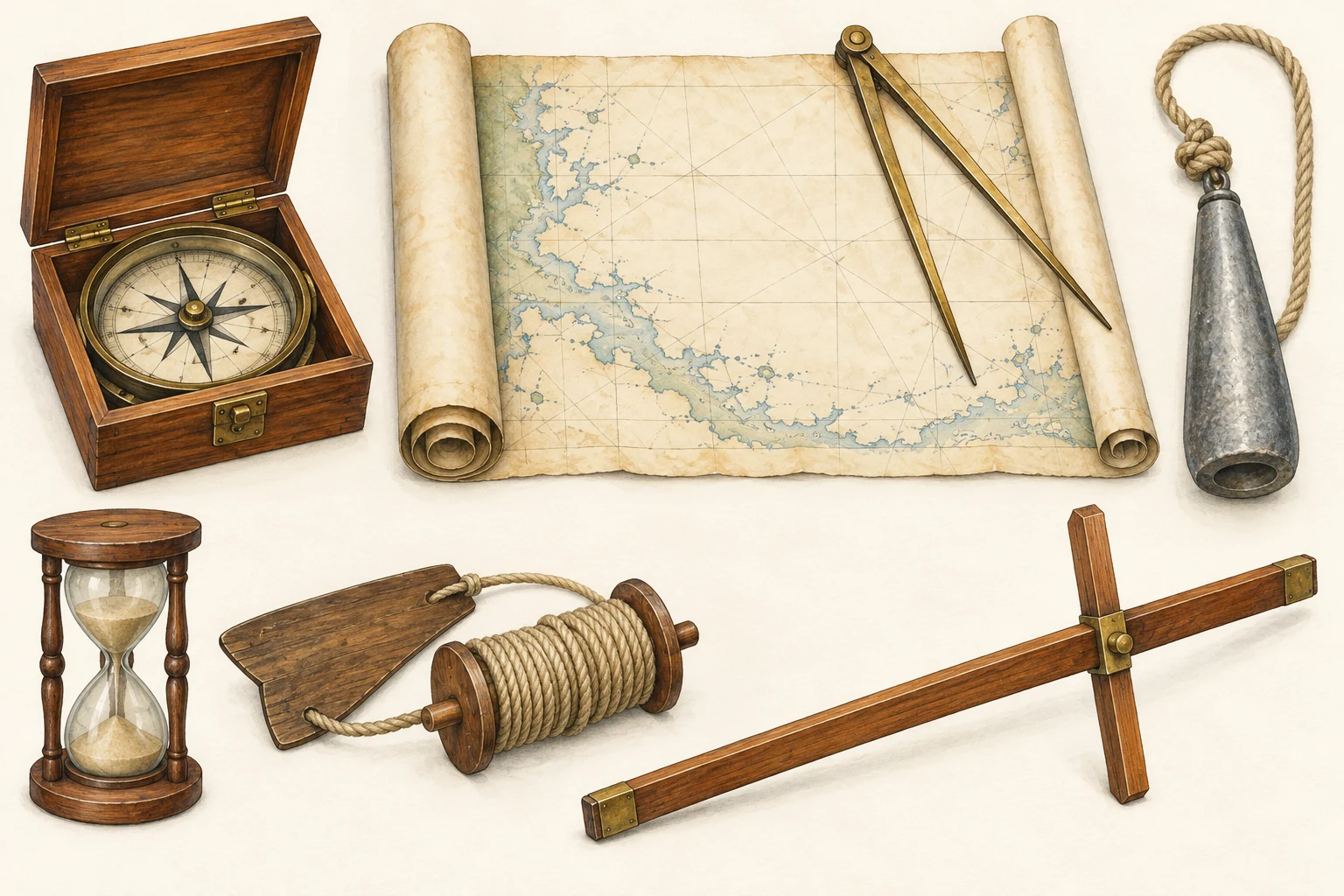 See the details.How sailors found their way.Explore the illustrated guide