
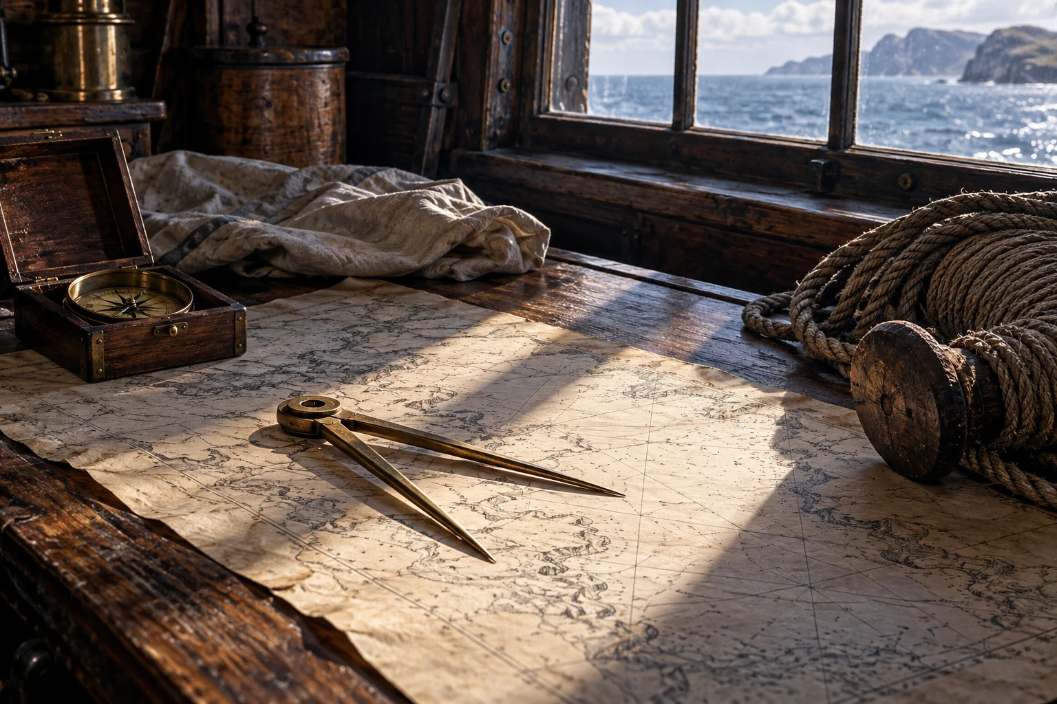
A position with a history behind it
Reckoning begins from a position already accepted for the calculation. The next estimate depends on movement since that point. Falconer connects the distance measured by the log and the course steered by the compass, with allowances for effects that alter the result. [1]
That dependence is important. A mistake in the starting position does not disappear because the following arithmetic is performed neatly. The estimate carries a history of observations and assumptions with it.
A simple invented track
For illustration only, imagine a vessel starting at point A on a flat teaching diagram. It is assumed to move 12 units east and then 5 units north, with no current or other correction. Its estimated new location is point B:12 units east and 5 north ofA.
| Included assumption | Not established by it |
|---|---|
| A starting point | How that position was observed |
| Two stated movements | That a real vessel maintained them exactly |
| No correction | That currents or leeway were absent on an actual voyage |
The geometry explains a running estimate; it does not reconstruct a pirate’s route.
The ship and the water did not always agree
Falconer expressly includes drift and leeway among the considerations. Course steered and movement achieved over the ground should not be silently treated as identical. The log’s indicated movement through water belongs to that distinction. [1]
This is why a modern route map can be misleading even if its endpoints are correct. A straight, precise-looking line may suggest observational certainty that the underlying account does not contain.
An observation could challenge the estimate
The dictionary says good observations should correct the reckoning. A fresh observation was valuable partly because it could reveal accumulated error, not because every earlier calculation had been worthless. [1]
Read the sequence as a process: estimate, compare and revise. Confidence could change during a voyage. A final recorded arrival does not prove that everyone knew the vessel’s exact position at every earlier hour.
Practice was more than knowing the words
Smith’s reading list gives the learner a range of subjects and instruments, then emphasizes practice. Knowing definitions could support navigation without replacing the experience of assembling imperfect information aboard a working vessel. [2]
Continue with rate and time, the direction reference and the coordinate questions. The connections make the navigator’s work both more demanding and more understandable.
Questions, answered.
Was dead reckoning the same as an astronomical observation?
No. Falconer distinguishes the estimate from an observation that could correct it.
Does a modern line between ports prove the actual sailed track?
No. The source must support that degree of precision; otherwise the line is a reconstruction or schematic.
Sources & reading notes
Source checks distinguish an artifact, a reported account and a modern interpretation. They do not constitute independent historian review.
- An Universal Dictionary of the Marine (1769)William Falconer; Project Gutenberg transcription · Eighteenth-century technical dictionary; public domain in the USA
Headwords “Dead-reckoning,” “Log,” “Compass” and “Variation.” The example below is invented teaching arithmetic, not a historical logbook. Published 1769, later than most events in this chapter. Used as a dated terminology comparison, not proof that an earlier pirate carried a particular instrument or followed later naval regulations.
- A Sea Grammar (1627)Open the keyboarded source transcriptionJohn Smith; Early English Books Online / Text Creation Partnership · Seventeenth-century seafaring manual; TCP transcription released under CC0
Chapter XV, navigation study and the emphasis on practice. A prescriptive manual from 1627, not the operating rules of every merchant, naval or pirate vessel. The TCP text preserves gaps and transcription uncertainty. Modernized explanations here do not reproduce its period medical or physical theories as current advice.
 See the details.How sailors found their way.Explore the illustrated guide